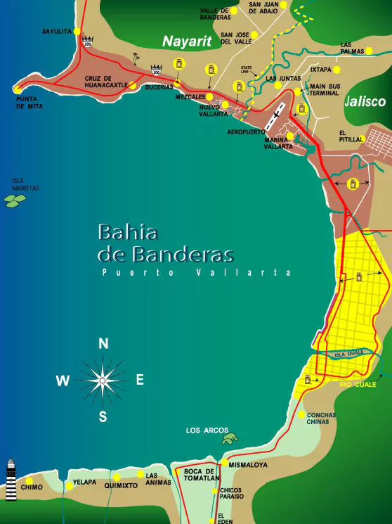
The Bahía de Banderas (Banderas Bay) on the Pacific Ocean is bounded on the north by Punta Mita (Mita Point), and on the south by Cabo Corrientes (Cape Corrientes). Its coastline is approximately 100 kilometres (62 mi) long. Though locally regarded so, it is not the largest bay in Mexico.
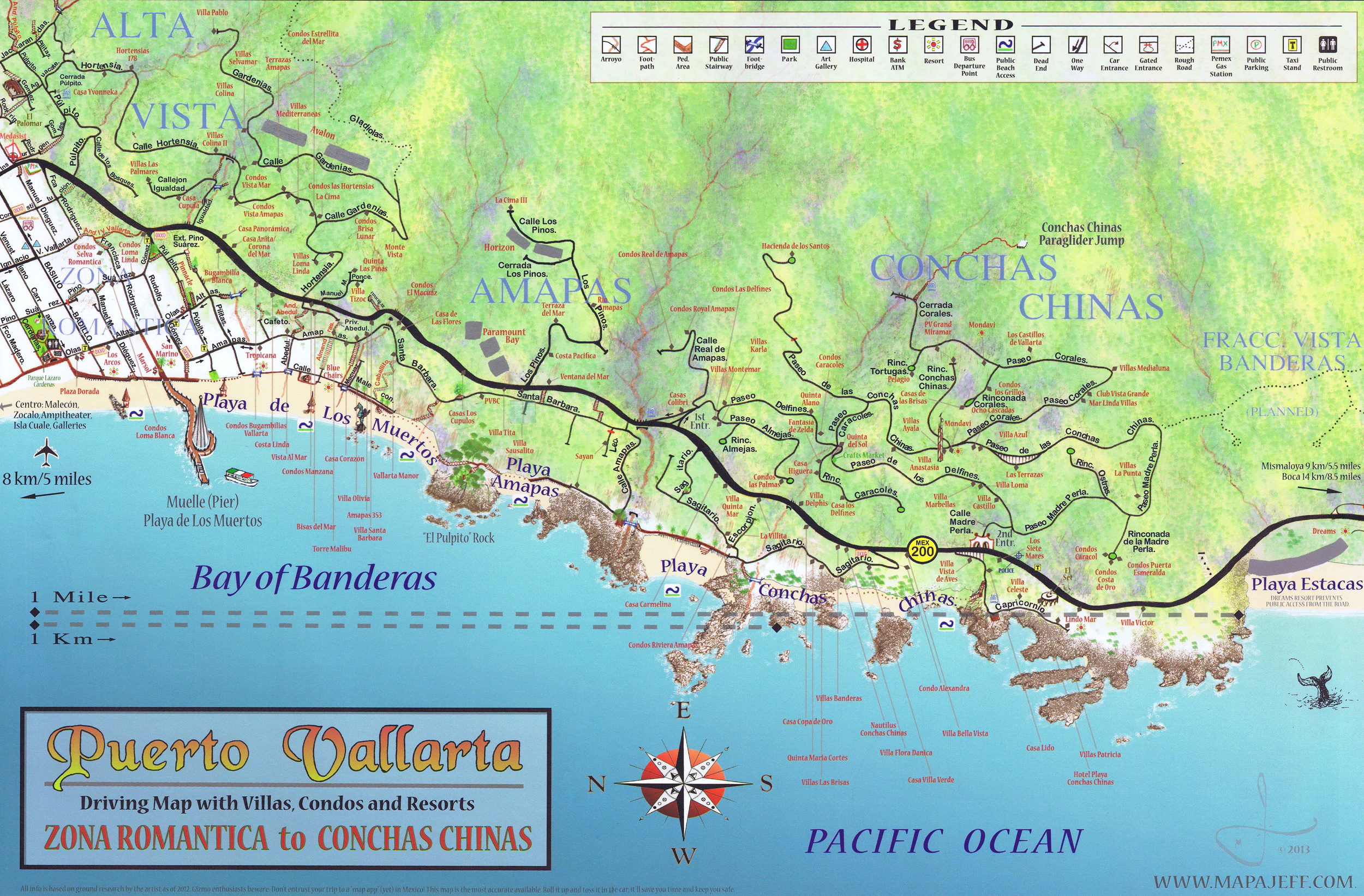
Tourism is very important to the local economies, and the Bahía de Banderas coast is an important location of tourist facilities development in both states. Puerto Vallarta has been the longstanding primary resort destination and cruise ship port of the bay. However, beyond the city on the long 100 kilometres (62 mi) coastline, other attractive beaches and landscapes have since been developed to serve visitors.
Bahía de Banderas (Banderas Bay) is also an important breeding and birthing ground for the humpback whale.
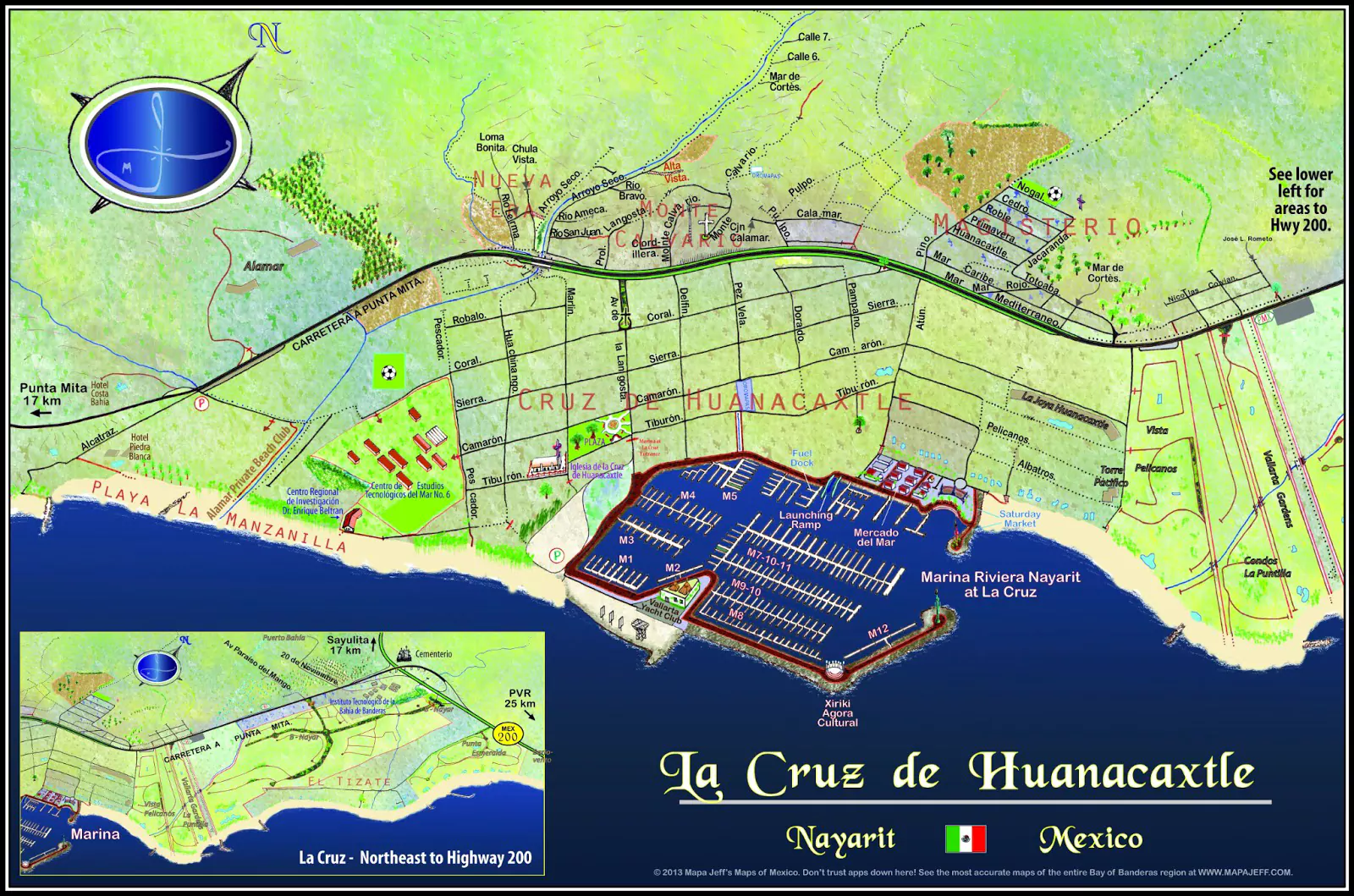
On the north the Municipality of Bahía de Banderas borders Compostela in Nayarit, on the east the state of Jalisco, on the south the Municipality of Puerto Vallarta in Jalisco, and on the west the Bahía de Banderas and Pacific Ocean.
TOWNSThe municipal seat is the town of Valle de Banderas, with a population of 5,057 in 2005. Other towns are San Juan de Abajo (8,159), Bucerías (5,711), San José del Valle (5,188), San Vicente (3,543), and Jarretaderas (3,426)..